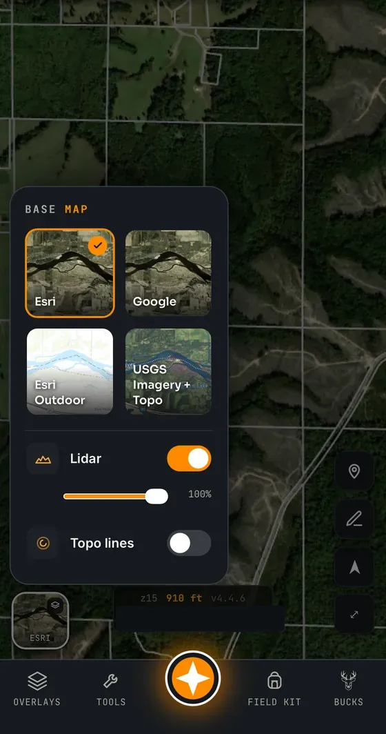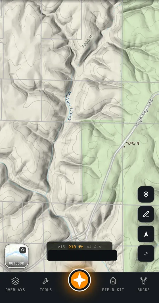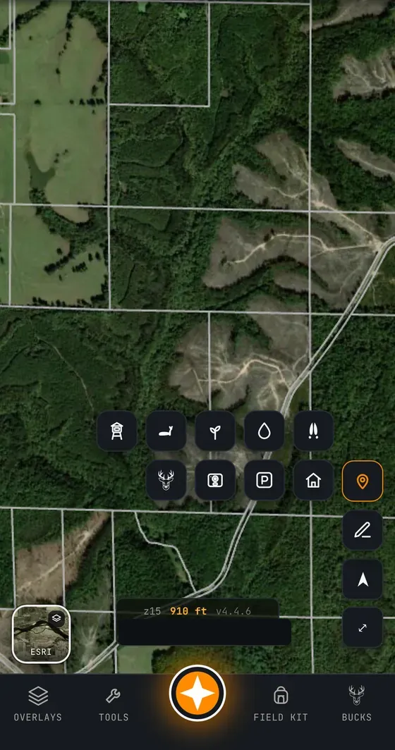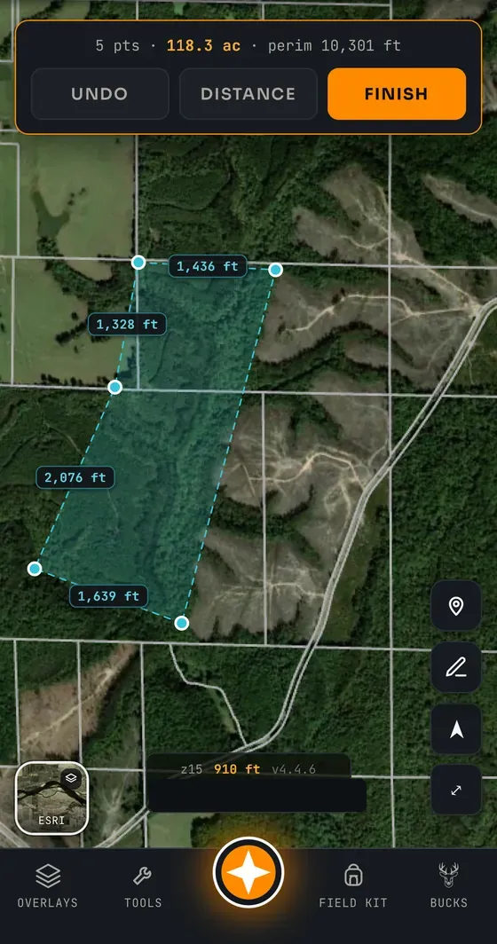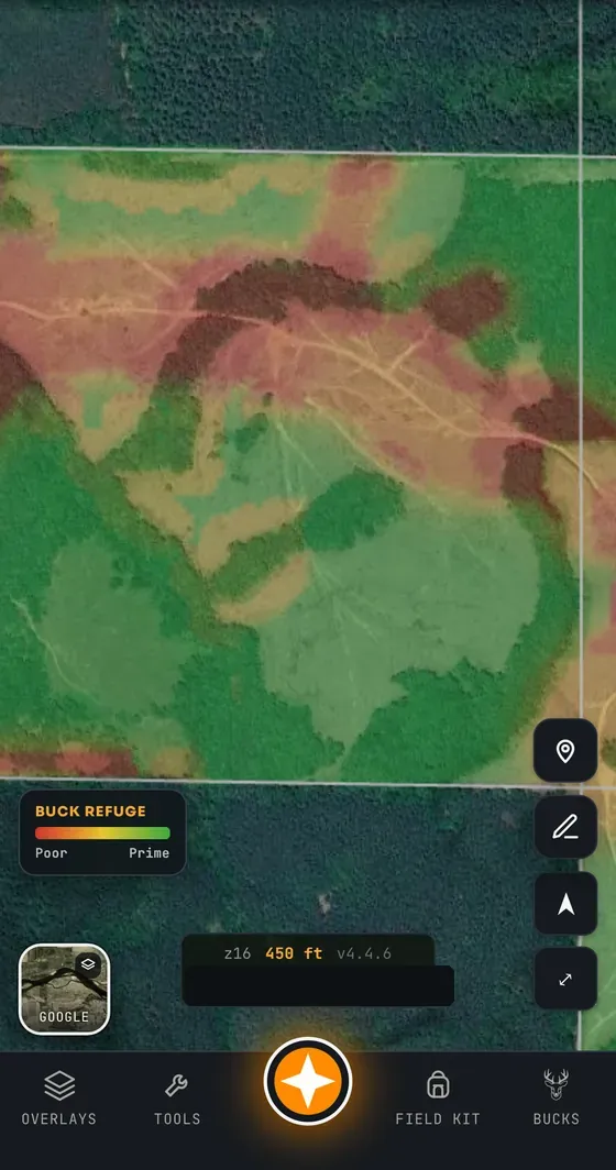
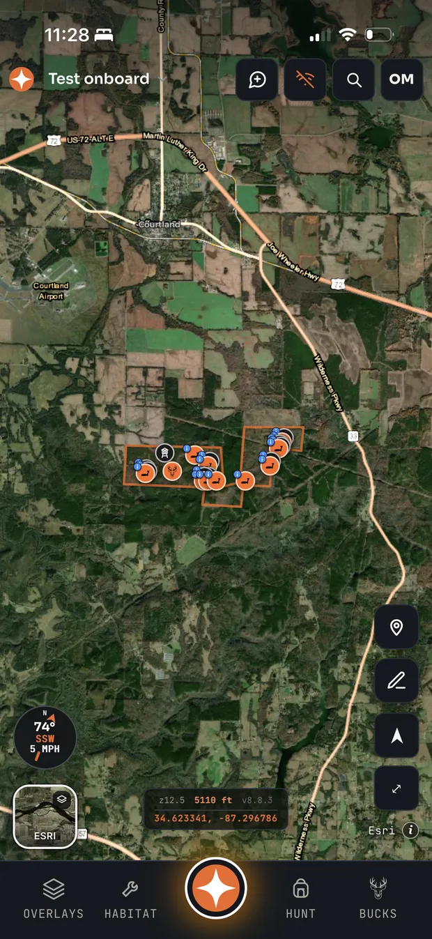
See Every Inch of Your Ground
Flip between Esri and Google satellite, USDA NAIP aerial, Esri Outdoor topo, LiDAR hillshade, and contour lines in a tap. Find the benches, points, and pinch points deer actually travel — before you ever set foot on the property and bump the buck you’re after.