Built to Be Used in the Dark, With Cold Hands
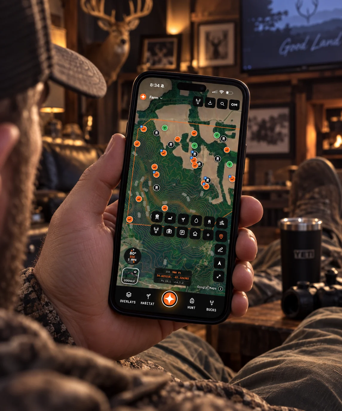
Every screen in Contors was designed to be used standing in the dark at 5 a.m., not demoed on a desk. Big targets, a map that moves, and the tools you actually need on the walk in reachable with one thumb.
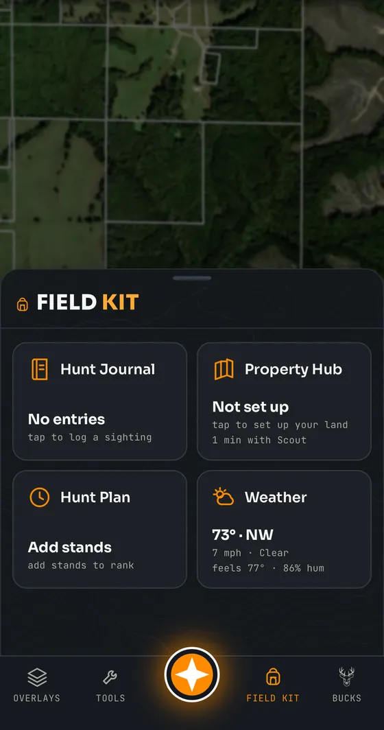
The field kit
Compass, GPS position, distance and area measurement, track recording, and navigation back to a stand or the truck.
Marking things fast
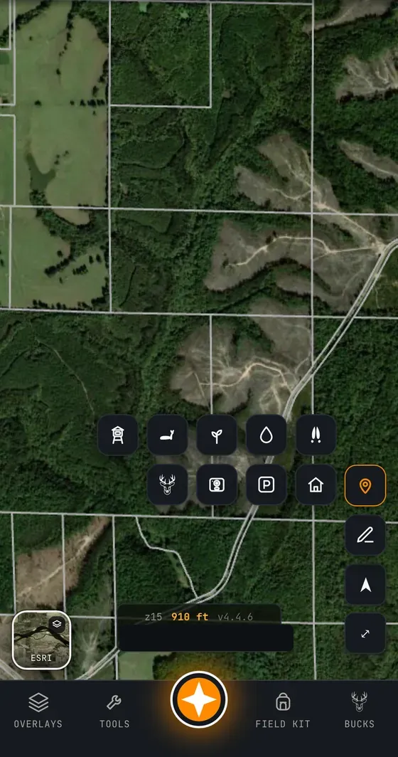
Drop a stand, camera, scrape, rub, bed, gate or parking spot in a couple of taps, name it later. The marker types are the ones hunters actually use, not a generic pin.
Measuring and finding
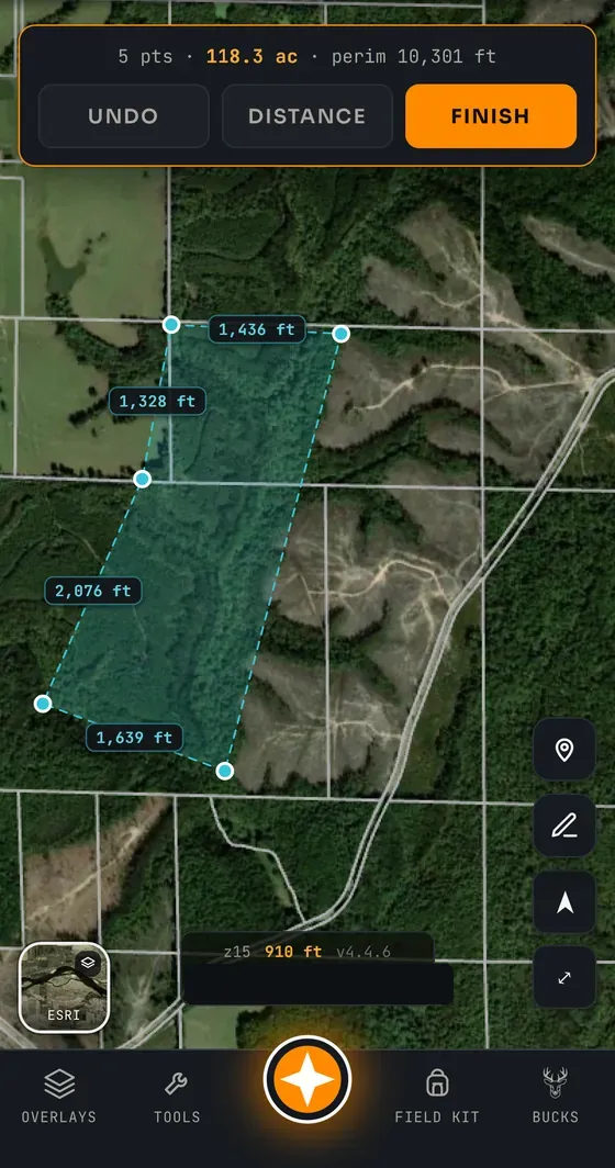
Measure a distance or an area on the map, and search an address, a set of coordinates or a place to jump straight to new ground.
Two dashboards for the two halves of a hunt
Turn the phone sideways and Contors becomes a dashboard instead of a map.
Scout Mode is for when you are working the ground. Drop bedding, a scrape, a rub, tracks, a lick or a trail with one tap. Add a camera or start a track without leaving the screen. Beside it sits today’s light, your property score out of 100, how much camera coverage you have, how much habitat you have mapped, and Scout reading your own sign back to you.
Hunt Mode is for when you are sitting, and it goes red in the dark so it never costs you your night vision. Wind speed and gusts, which way your scent is blowing right now, whether the thermals have switched, temperature and pressure trend, movement by hour with the peak called out, and legal light with the reminder that it varies by state. Log a sighting or start a track from the same screen.
Made for cold hands and no light
The whole app is dark by default, because a white screen at 5 a.m. blinds you for ten minutes. Buttons are sized for gloves. The tools you need on the walk in — compass, position, track, navigate, mark — sit one tap from the map rather than three menus deep.
And it keeps working when the signal does not. Save your ground for offline and the imagery, your boundary, your pins, the compass and track recording all carry on with no service at all, then sync when you are back in range.
Layers without a menu maze
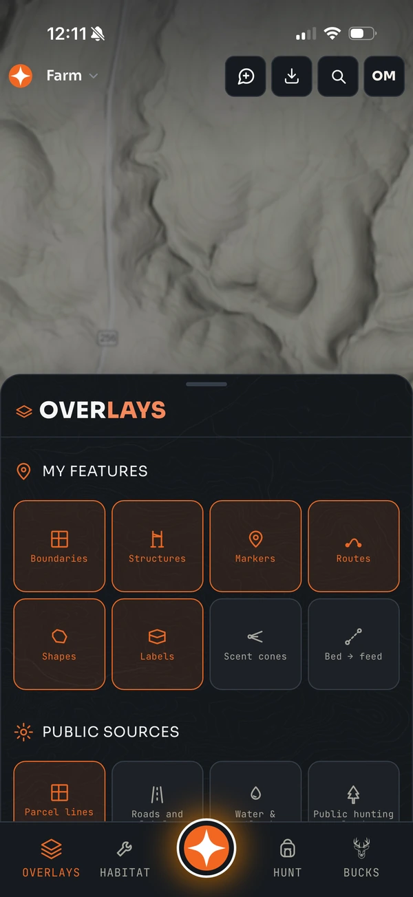
Overlays and basemaps live behind a single control, and Scout can switch any of them for you if your hands are full.
Common questions
Is Contors usable in the dark?
Yes. The interface uses a dark theme with large touch targets and keeps the field tools — compass, GPS, tracking, navigation and marking — one tap from the map, so it can be operated at 5 a.m. with gloves on.
Can I measure distance and area?
Yes. Distance and area measurement are built into the map, along with a search that accepts an address, coordinates or a place name.
Can I record a track while I walk?
Yes. Track recording works while you walk in or trail a deer, and it keeps working offline on a saved area.
Related: all features · offline maps · try the demo