The Map Keeps Working When the Signal Stops
Save your ground to the phone and the map still works with no service at all. The imagery, your boundary, your stands, cameras, routes and markers, the compass and track recording all keep running deep in the timber, then sync back to your account when you have signal again.
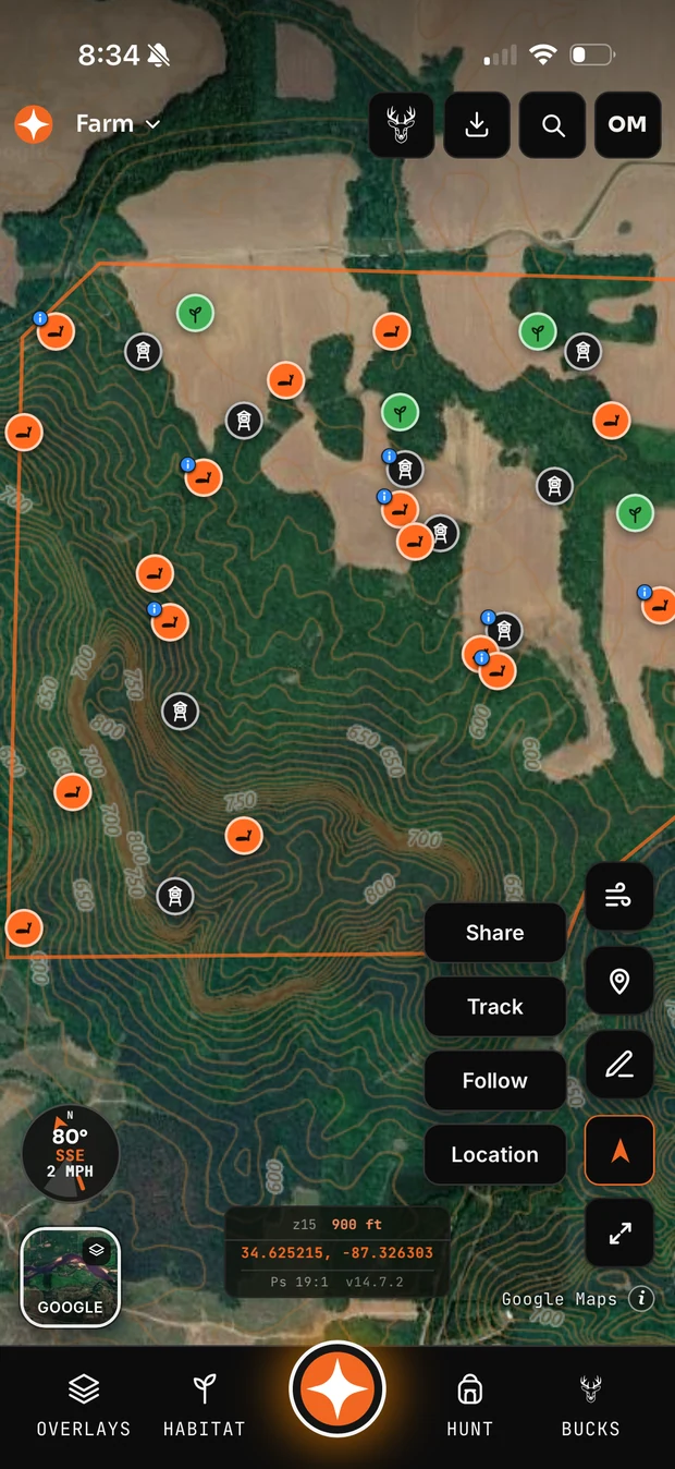
What still works with no signal
- The saved basemap imagery for the area you downloaded
- Your property boundary, habitat areas, stands, blinds, cameras, markers and routes
- GPS position, the compass, and navigating to a stand or back to the truck
- Recording a track as you walk in or trail a deer
- Dropping new pins and editing existing ones — they sync when you are back in service
How much you can save
- Free — offline areas are a paid feature
- Pro — one saved area
- Unlimited — as many as you want
An area is a region you select on the map, so one save can cover a whole lease rather than a single stand.
Why it matters
Most whitetail ground worth hunting has bad service, and the moment you need the map most is the moment you are furthest from the truck in the dark. An app that goes blank at the property line is not a hunting app.
Common questions
Does Contors work offline?
Yes. You select an area on the map and save it to the phone; the imagery, your property boundary, stands, cameras, routes and markers then work with no signal, along with GPS, the compass and track recording. Anything you add offline syncs to your account when you are back in service.
How many offline areas can I save?
One saved area on the Pro plan, and as many as you want on Unlimited. Offline maps are a paid feature.
Does the compass work offline?
Yes. GPS, the compass, navigating to a stand and recording a track all work without a data connection.
Related: all features · maps & imagery · compare plans