Short answer: Free tiers in hunting apps are genuinely usable for mapping one property. What you pay for is almost always one of three things: parcel ownership data, more properties, or the analysis layers.
What free tiers normally include
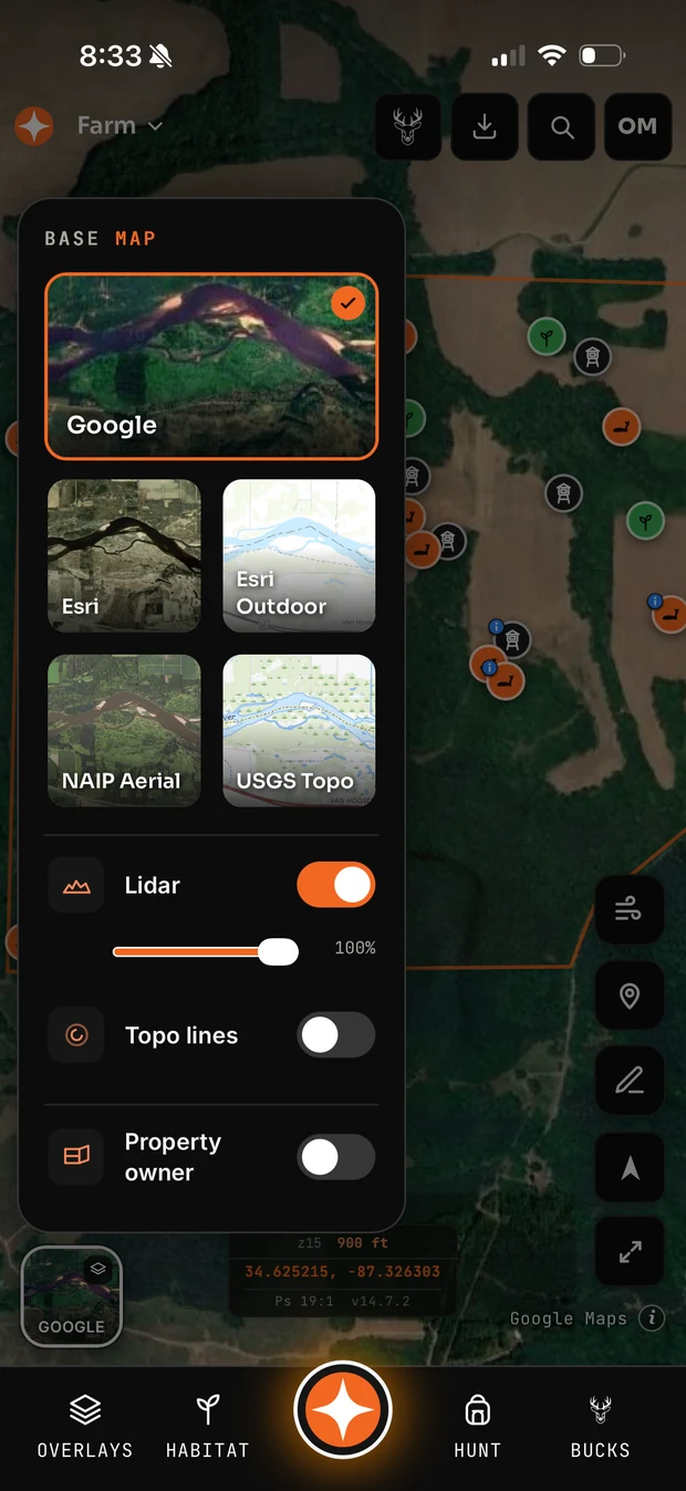
- Satellite and topo base maps. Nearly always, because the underlying imagery is cheap or free to the provider.
- Markers and boundaries. Usually with a cap on how many properties.
- Basic offline caching. Often limited in area.
- Weather. Commonly included since public weather APIs are inexpensive.
What sits behind the paywall, and why
Parcel ownership data is the big one, and it is behind a paywall for a real reason rather than a greedy one: it is licensed from commercial providers at genuine cost, and owner-name redistribution carries its own licensing terms. Any app giving away owner lookups free is either absorbing a real bill or about to stop.
Multiple properties. Cheap for the provider, but the strongest upgrade trigger there is, because hunters accumulate ground faster than they expect.
Analysis layers — wind modelling, terrain analysis, AI features. These cost the provider compute on every use, unlike a base map tile which is cached.
How to decide
Use the free tier for a full season on one property. If you never hit a wall, do not upgrade. If you hit the same wall three times in October, that wall is worth the money.
The one exception is parcel data. If you hunt a patchwork of small parcels, or you are trying to find the owner of the eighty acres behind your lease, that feature alone is often worth an annual subscription — it saves a trip to the county office.
Watch the annual maths
Hunting is seasonal and monthly subscriptions bleed all year for four months of use. Annual pricing is usually 40 to 50 percent cheaper than twelve months of monthly, and if you are going to keep it, the annual is almost always the right call.
Common questions
Are free hunting apps good enough?
For mapping one property with satellite and topo layers, yes. The limits that push hunters to pay are usually property count and parcel ownership data.
Why do hunting apps charge for property lines?
Parcel data is licensed from commercial providers at real per-use cost, and owner information carries additional redistribution licensing.
Should I pay monthly or annually?
Annual, if you intend to keep it. Hunting use is seasonal and monthly billing runs all year for a few months of real use.