Short answer: Nearly every hunting map app draws from the same handful of imagery and parcel providers, so imagery quality is rarely the real difference. What separates them is what they let you do with the map once it is on screen.
Imagery is table stakes
High-resolution aerial imagery in the United States comes largely from the same public and commercial sources — NAIP for agricultural-season aerials, and commercial satellite providers for the rest. Topo comes from USGS. Two apps showing you different imagery of the same forty are usually showing different dates, not different quality.
Date matters more than most hunters realise. A leaf-off aerial from March shows you bedding structure and trails that a July image hides completely. If an app only offers one image date, you are looking at whatever the provider last flew.
What actually separates map apps
- Wind and thermal modelling. Drawing a wind arrow is easy. Showing how scent actually moves across your terrain for a given wind, including thermal drift in hill country, is the feature that changes stand selection.
- Property boundaries and ownership. Parcel data is licensed from commercial providers and is not free. Apps that show boundaries but not owner information usually have a licensing reason, not a technical one.
- Offline behaviour. Most good hunting ground has no service. An app that degrades to a blank screen in the timber is a planning tool, not a hunting tool.
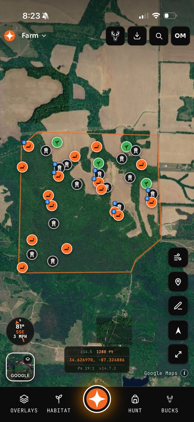
- Whether the map remembers anything. A map that just displays imagery is a viewer. A map that holds your stands, cameras, boundaries, access routes and sit history becomes a record of the property that gets more valuable every season.
The questions worth asking before you pay
Can I get my data out? Hunting apps come and go, and a decade of stand locations trapped in a dead app is a real loss. GPX and KML export should be table stakes.
Does the free tier let me evaluate the thing I care about? A free tier that hides the actual differentiator behind a paywall tells you nothing except that they want your card.
How many properties does it support? Hunters who lease frequently or hunt public land accumulate properties fast, and per-property limits bite harder than most people expect at signup.
Common questions
What is the best hunting map software?
It depends on whether you mainly need offline maps in the field, planning tools before the season, or property records over time. Test the free tier of two or three against a property you know well — you will spot the differences immediately on familiar ground.
Is hunting map software worth paying for?
The free tiers are genuinely useful for basic mapping. Paid tiers earn their keep when you hunt multiple properties, need parcel boundaries, or want the wind and terrain analysis that free tiers usually withhold.
Can I use hunting map software offline?
Most apps let you cache map areas before you lose service. Test this deliberately in airplane mode before you rely on it — behaviour varies a lot between apps.