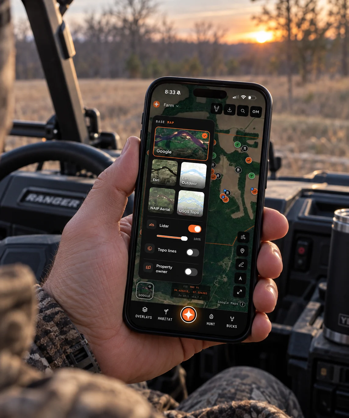
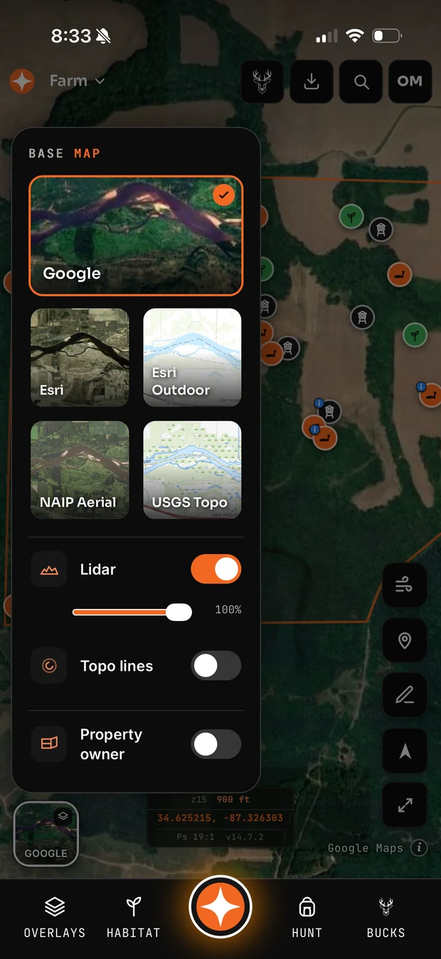
Short answer: Aerial imagery tells you what is growing. Topo tells you what the ground does. Hillshade shows you subtle structure both of the others hide. Serious e-scouting means switching between all three on the same piece of ground, not picking a favourite.
What aerial imagery is good for
- Cover types and edges. Where timber meets field, where the cedars are thickest, where a CRP field has gone to brush.
- Agricultural rotation. Corn one year, beans the next, and where the standing crop will be in November.
- Man-made features. Roads, houses, gates, trails, food plots, and the neighbour's stand you did not know about.
- Trails, sometimes. On leaf-off imagery in open timber, deer trails are occasionally visible as faint lines.
The critical variable is date. Leaf-off imagery from March shows you structure that July imagery hides completely. If your app only carries one date, you are looking at whatever the provider last flew, and that may be two years stale.
What topo is good for
Everything about how deer move through terrain. Saddles, benches, drainages, pinch points, and how steep the ground actually is. A hillside that looks like uniform timber on aerial imagery may hold three benches and a saddle, and only contour lines show them.
Topo is also the only honest read on effort. Deer take the path of least resistance almost always, and the path of least resistance is a terrain question, not a cover question.
Why hillshade is the underrated one
Hillshade renders elevation data as simulated shadow, which makes subtle relief visible in a way contour lines at ten or twenty foot intervals simply cannot. Old logging roads, terraces, small benches, erosion cuts and slight rises all appear.
Where LiDAR-derived hillshade is available it is the single most useful layer for finding bedding structure. Standard contour intervals smooth away exactly the features that hold deer.
A practical order of operations
- Start on aerial imagery to understand cover, fields and access.
- Switch to hillshade to find structure the imagery hides.
- Confirm on topo to understand the effort a deer would spend on each route.
- Go back to imagery to check the cover actually supports what the terrain suggests.
Common questions
What is the best map type for deer hunting?
Neither alone. Aerial shows cover and human features, topo and hillshade show terrain and travel. Bedding and travel prediction needs the terrain layers; food and access planning needs imagery.
How old is hunting app satellite imagery?
Typically months to a few years. In the US, agricultural-season aerials from NAIP are flown on a multi-year cycle by state, so currency varies considerably by region.
Is hillshade better than contour lines?
For spotting subtle structure, yes — particularly LiDAR-derived hillshade. Contours are better for reading exact elevation change and slope steepness.